
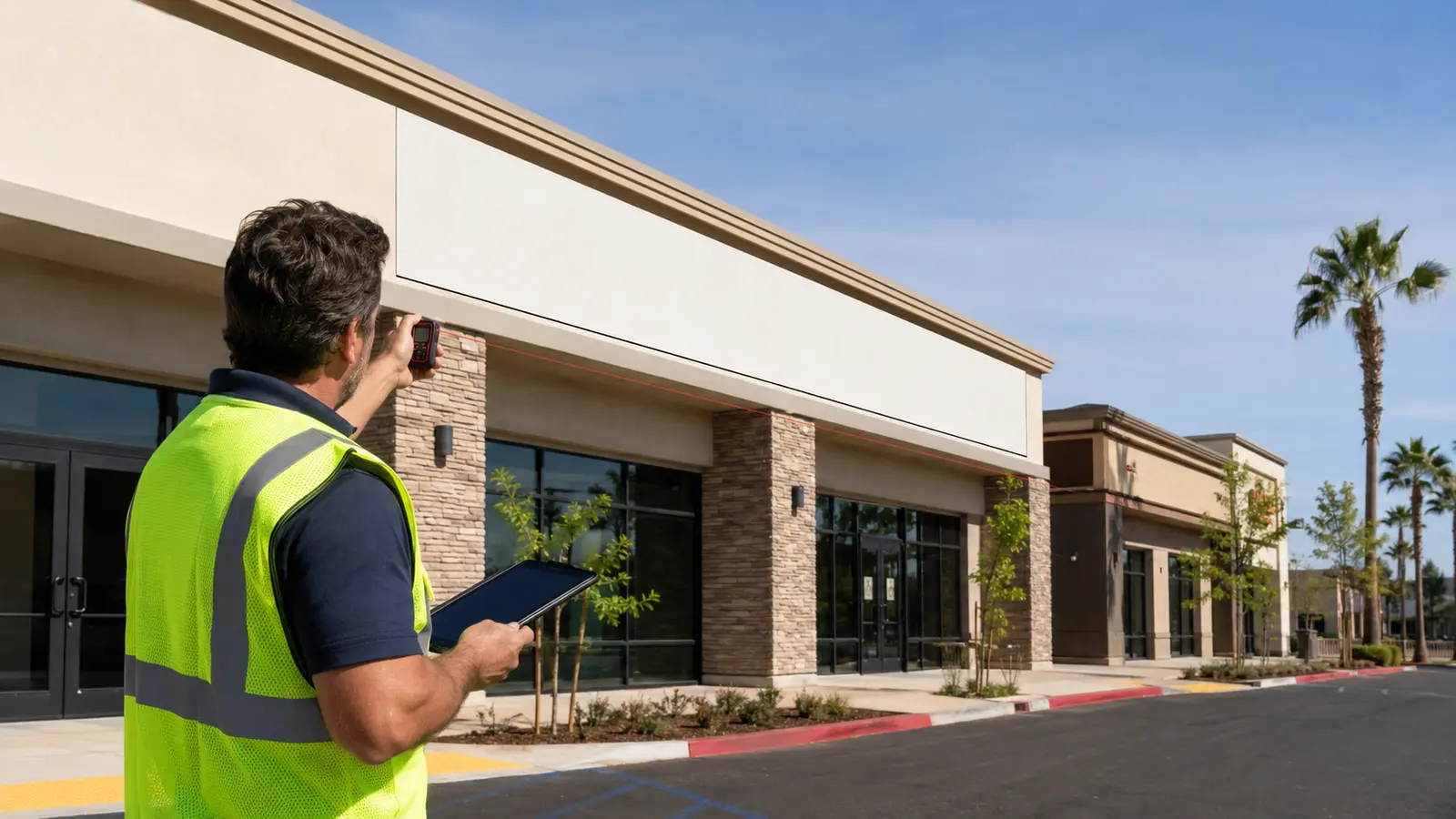
A commercial sign site survey is the field record that turns a sign idea into a site-specific project. It documents the building, property, viewing conditions, existing signs, utilities, access and local review context before design, permitting, fabrication or installation depends on assumptions.
For business owners and project teams, the survey is not simply a set of measurements. It helps answer four practical questions: What can fit? What can be seen? What conditions affect the design? What must the project team confirm before moving forward?
This checklist explains the information commonly reviewed during a professional survey. The final scope varies by sign type, property, landlord criteria and jurisdiction. Electrical, structural and elevated-access evaluations should remain with qualified professionals.
Start With the Property and Project Scope
The surveyor should confirm the correct address, parcel or tenant space, property contacts and proposed sign locations. A retail tenant may be governed by a landlord sign program, while a stand-alone building may require a different zoning and permit review. A site with an existing monument sign, wall signs and directional signs needs a complete inventory so the new work can be evaluated in context.
Before the visit, provide the current brand files, landlord criteria, site plan, architectural elevations and any previous sign drawings that are available. During the visit, the surveyor should distinguish verified field conditions from information supplied by others. That distinction prevents an old plan or prototype detail from being treated as current fact.
Document Building and Sign-Band Dimensions
For wall-mounted signs, the survey should record the usable sign band, facade width and height, parapets, architectural joints, awnings, windows, doors, light fixtures and other features that affect placement. Photographs should be taken square to the elevation and from approach angles so designers can create realistic scale studies.
The wall material and visible construction also matter. Stucco, masonry, metal panels and other finishes create different attachment and restoration questions. The survey does not replace structural design, but it should identify observable conditions and areas that require further investigation.
For freestanding signs, the record may include the existing cabinet or structure, overall dimensions, grade, property lines shown on available plans, landscaping, curbs, vehicle areas and the proposed relationship to the street. Underground utility location and foundation design require separate professional coordination; they should never be guessed from surface appearance.
Review Visibility From Real Approach Points
A sign is experienced from the street, parking lot and pedestrian route, not from a flat drawing. The survey should document approach directions, typical viewing distance, traffic movement, neighboring signs, trees, light poles, canopies and building projections that may block the message.
Stockton’s sign standards illustrate why field context matters: sign location is reviewed in relation to traffic sight areas, circulation, utilities, public rights-of-way and existing street trees. Those are local examples, not universal California rules. Every project needs review against the authority and approved property criteria that apply to its address.
The survey should also capture daytime and, when illumination is relevant, nighttime conditions. A bright background, competing displays or an unlit approach can influence sign type, contrast and illumination planning without justifying unsafe brightness.
Inventory Existing Signs and Available Area
Record each existing sign by type, location, approximate size, message and visible condition. Note whether it appears to remain, be removed, receive a new face or be replaced. Photograph tenant panels, disconnects, supports and surrounding finishes without opening energized equipment.
This inventory helps the design and permit team understand how the proposed work relates to existing sign area and any property-wide program. Stockton requires comprehensive sign programs in specified circumstances and asks those programs to identify sign types, locations and elevations. A complete field inventory therefore supports both design coordination and an accurate review package.
Observe Electrical Conditions Without Unsafe Diagnostics
For illuminated signs, document the location of visible electrical service, disconnects, conduits and existing penetrations when they can be observed safely. Record labels and panel information only when accessible without opening equipment or entering a restricted area.
The survey should flag missing information for a qualified electrical assessment. It should not involve removing covers, testing energized components or making wiring assumptions. The goal is to identify what is known, what is visible and what must be confirmed before drawings or installation.
Plan Installation Access and Site Logistics
Measure access routes and observe parking, curbs, landscaping, overhead obstructions, loading areas, pedestrian paths and normal customer activity. The installation plan may depend on where equipment can stage, how the work area will be protected and whether deliveries can reach the sign location.
Document roof or rear-wall access only from safe, authorized areas. Any elevated inspection, structural opening, traffic control or work near utilities requires the appropriate professional plan. Early access information helps the project team select equipment and coordinate installation rather than discovering conflicts after fabrication.
AA Sign Image’s commercial sign installation service can be included early so site access, attachment conditions and sequencing are considered with the design.
Connect the Survey to Permit Planning
A useful survey organizes information in a way that designers and reviewers can understand. Typical deliverables include labeled photographs, field dimensions, sign-location references, elevation notes, existing-sign inventory and a list of unresolved conditions.
The City of Stockton states that plan reviewers evaluate documents submitted with permit applications and may request changes for compliance; review time depends on project size and complexity. Its sign code also notes that specific signs may require site plan review, a land development permit or a use permit. A clear survey cannot guarantee approval, but it can reduce avoidable uncertainty in the package.
For help connecting field data with drawings and municipal review, see AA Sign Image’s sign permit and drawing services.
Use a Survey Deliverables Checklist
Before accepting the survey record, confirm that it contains:
- Correct property address, tenant space and project contacts
- Proposed and existing sign locations
- Measured facade, sign-band or freestanding-sign dimensions
- Labeled overview, elevation and approach photographs
- Observable wall, grade, landscape and access conditions
- Visibility constraints and nearby site features
- Existing sign inventory and intended disposition
- Observable electrical information with unresolved items flagged
- Landlord criteria and available site documents referenced
- Permit or jurisdiction questions assigned for follow-up
- A clear separation between verified dimensions and assumptions
The project team should review the package before design release. Missing or contradictory information should be resolved in the field, not buried in a fabrication note.
Questions Project Teams Commonly Ask
#### Is a site survey required for every commercial sign project?
The exact scope varies, but site-specific verification is important whenever design, permitting, fabrication or installation depends on dimensions and field conditions. Even a repeat brand prototype can encounter different walls, utilities, landlord criteria and local rules.
#### Can architectural plans replace a field survey?
Plans are valuable references, but they may not reflect tenant improvements, prior sign work or current site conditions. The team should identify which dimensions come from documents and which were verified in the field.
#### What should the owner provide before the survey?
Provide the property address, project goals, current brand files, landlord sign criteria, available site plans or elevations, previous sign records and a contact who can authorize access.
Plan the Survey Before the Sign
A good survey gives every downstream team the same factual starting point. AA Sign Image can coordinate field information, sign drawings, permit support and installation planning for commercial properties in Stockton and across California. Request a free quote with the property address, current photographs, desired sign types and target schedule.